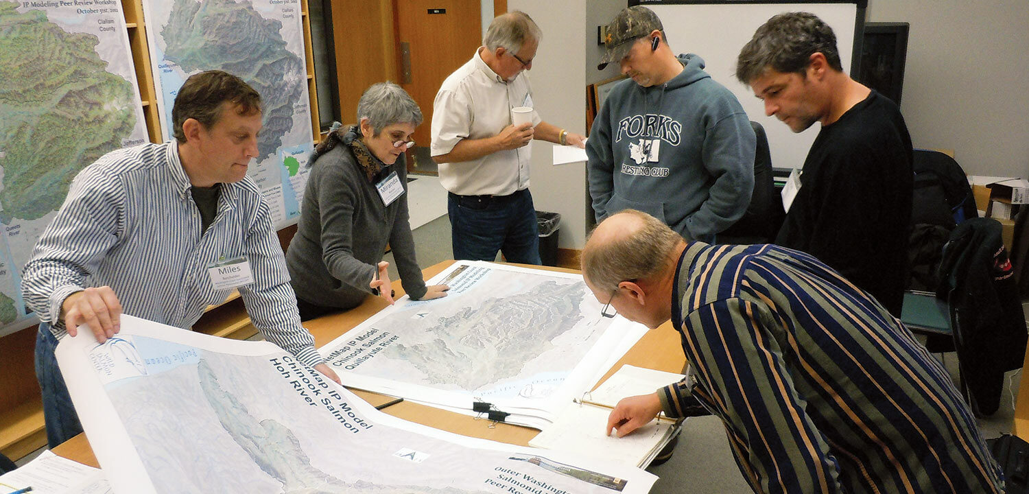
Innovative mapping project aims to identify high-value habitat to guide conservation efforts.
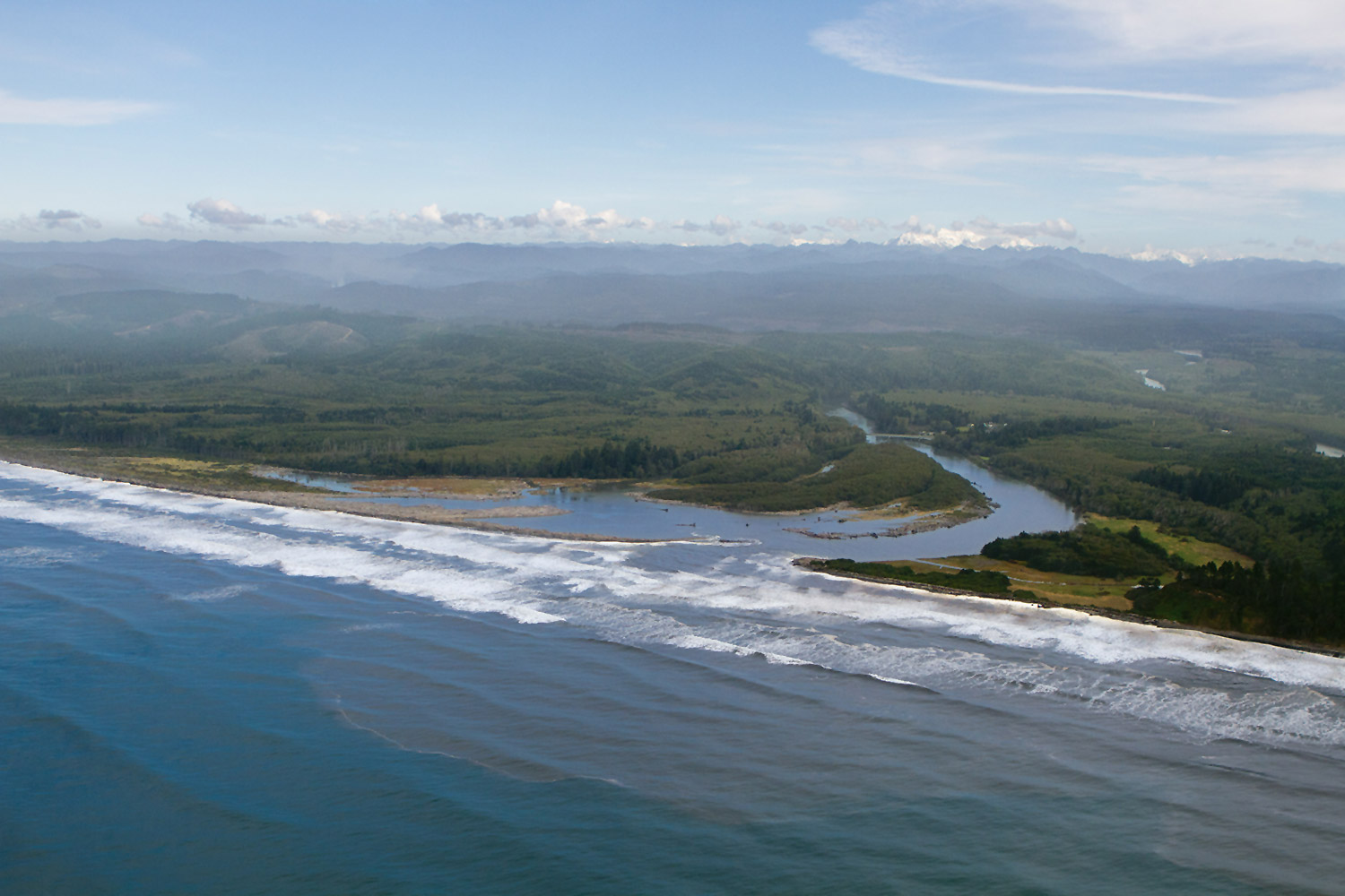
Wild Salmon Center is partnering with the University of Washington’s Olympic Natural Resources Center on an innovative mapping project to identify the highest intrinsic value habitat—the best places for salmon to rear and spawn—for five species of salmon across four coastal watersheds (Quillayute, Hoh, Queets, and Bear rivers). This mapping is done using cutting-edge modeling software called NetMap. WSC‘s goal is to create models that can be applied to the entire 4 million acre coast region to help resource managers better prioritize salmon restoration and protection projects, especially when detailed field data are lacking. See these new mapping tools online at: http://www.onrc.washington.edu/MarinePrograms/AnadIPportal.html.
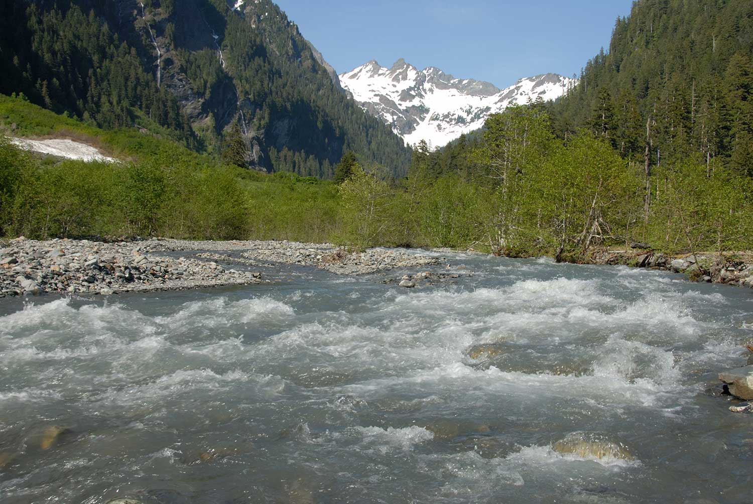
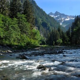
The upper reaches of the Quinault River flow through an area known as the Enchanted Valley | © Larry Workman